
Gulf Coast Weather: Cold Front Brings Severe Storm Risk
New Orleans faces a shift from lingering showers to a dangerous mid-week cold front with potential for severe activity.
By Noah Rao ·
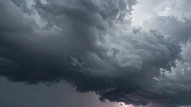
A shift in weather patterns is bringing back rain chances for the Gulf Coast, with a mid-week cold front set to trigger a severe storm threat.
Meteorologists report a 40% chance of rain and isolated heavy downpours on Sunday, down from previous levels. High temperatures on that day will reach the upper 70s. Monday is forecast to be mostly cloudy with only a slight chance of passing showers.
Temperatures will spike on Election Day, with highs surging into the low 80s before the arrival of the colder air. While daytime showers and storms are possible, the highest probability for rain and severe weather is expected at night as the front approaches.
The cold front is projected to pass through the area late Tuesday or early Wednesday. Forecasters indicate that a few strong to severe storms are possible during this transition. Officials note that specific timing and strength details are still being refined, but residents should prepare for scattered rain.
Following the front, temperatures are expected to dip to the mid-70s by the end of the week as conditions dry out. A subsequent mass of cooler air may push highs down to the lower 70s by the following weekend.
Source: WVUE-DT